Cappadocia (Kapadokya)
Cappadocia in Antiquity
During the reign of the Roman Emperor Augustus, the ancient writer Strabo described the boundaries of the region of Cappadocia in his 17-volume work Geographika as a vast area extending from the Taurus Mountains in the south to Aksaray in the west, Malatya in the east, and the shores of the Eastern Black Sea in the north. Today, the Cappadocia region covers the provinces of Nevşehir, Aksaray, Niğde, Kayseri, and Kırşehir. The narrower area known as Rocky Cappadocia consists of Uçhisar, Göreme, Avanos, Ürgüp, Derinkuyu, Kaymaklı, Ihlara, and their surrounding areas.
Geological Structure
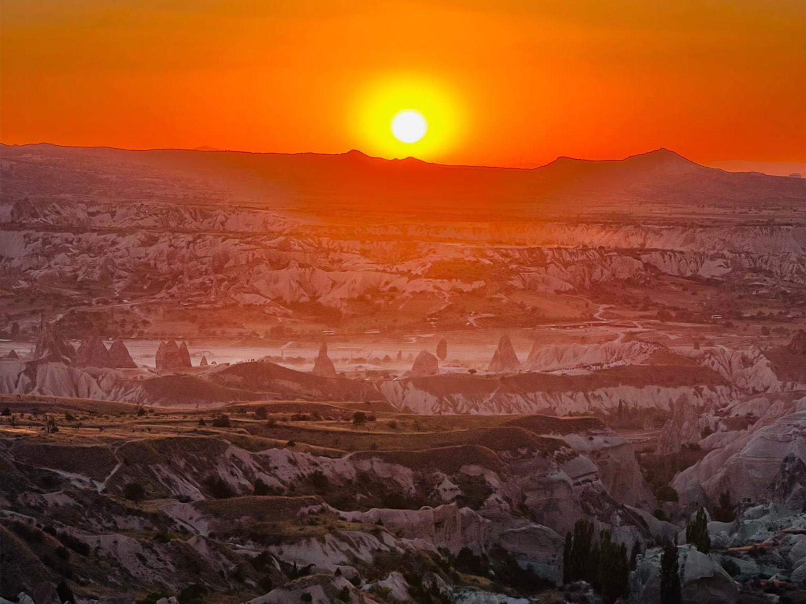
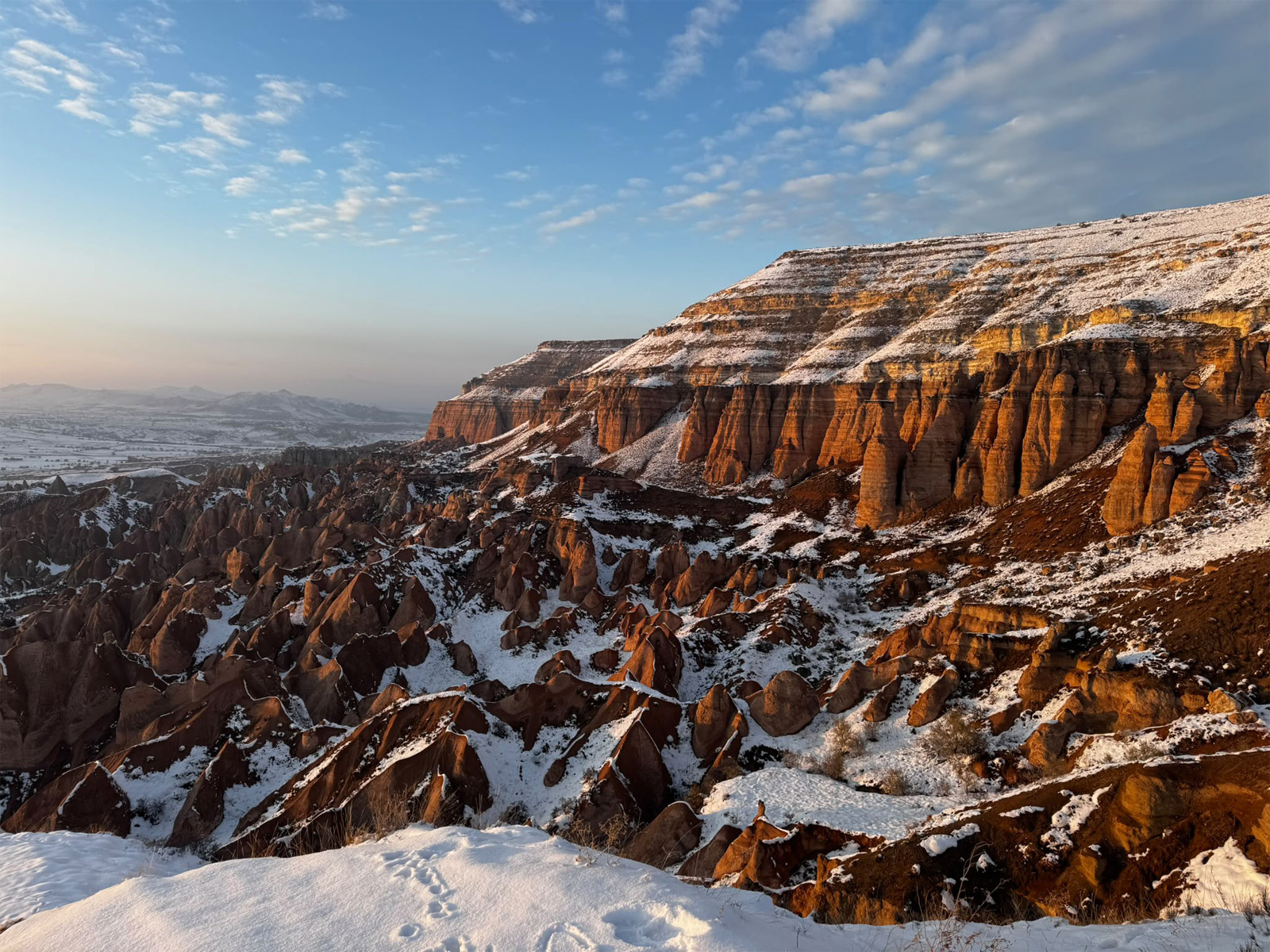
Mount Erciyes, Mount Hasan, and Mount Göllüdağ in the Cappadocia region were active volcanoes during geological periods. The eruptions of these volcanoes, together with those of numerous other volcanoes, began during the Upper Miocene, approximately 10 million years ago, and continued into more recent geological periods. Lava flows from the volcanoes beneath the Neogene lakes formed a layer of tuff, 100–150 meters thick and varying in hardness, across the plateau, lakes, and river systems. In addition to tuff, this layer contains various geological materials and rock types, including tuffite, ignimbrite tuff, lahar, volcanic ash, clay, sandstone, marl, agglomerate, and basalt. The plateau, shaped by materials ejected from the main volcanoes, was continuously transformed by eruptions from smaller and less powerful volcanoes. Beginning in the Upper Pliocene, rivers and lakes—particularly the Kızılırmak River—eroded this layer of tuff, eventually shaping the region into the landscape we see today.
Formation of the Fairy Chimneys
The erosion of the tuff formations by rainwater and floodwaters flowing down the valley slopes, together with the effects of wind, created the remarkable formations known as fairy chimneys. As floodwaters found their way down steep slopes, they caused harder rocks to crack and break away. The softer materials in the lower sections were then deeply eroded, causing the slopes to gradually retreat. As a result, cone-shaped rock formations remained beneath capstones that protected the structures below from further erosion. The capped fairy chimneys, found particularly around Ürgüp, generally have conical bodies with a block of rock at the top.
Cappadocia Through Historical Periods
 Proto-Hittite Period – Assyrian Trade Colonies (3000–1750 BC)
During the Early Bronze Age, Anatolia reached a peak in mining and metalworking. The greatest development, particularly during the later stages of this period, was observed in northern Central Anatolia. Between 2000 and 1750 BC, Assyrian merchants living in northern Mesopotamia established trading colonies in Anatolia, creating the region’s first organized trade network. The Assyrian merchants also introduced writing to Anatolia for the first time. The cuneiform texts written in Old Assyrian, known as the Cappadocian Tablets, reveal that merchants paid local rulers a 10% road toll along their trade routes, charged 30% interest on loans to indebted local people, and paid a 5% tax on the goods they sold to the Anatolian kingdoms. These tablets also reveal that Assyrian merchants married Anatolian women and that their marriage contracts contained provisions protecting the rights of Anatolian women.
The Hittite Period (1750–1200 BC)
At the beginning of the 2nd millennium BC, the Hittites crossed through the Caucasus from Europe and settled in the Cappadocia region. They later integrated with the local population and established an empire. Their language belonged to the Indo-European language family. Hittite remains can be found in almost all the ancient settlement mounds in the Cappadocia region. In addition, during the Hittite Imperial Period, monuments were carved as reliefs into high rocks near strategically important passes and waterways, particularly in the Cappadocia region. These rock monuments make it possible to identify the routes taken by Hittite kings as they traveled toward the southern lands.
The Late Hittite Period (1200–700 BC)
After the Phrygians destroyed almost all of the important cities of Central Anatolia and brought the Hittite Empire to an end, several Late Hittite kingdoms emerged in Central and Southeastern Anatolia. The Late Hittite kingdom in the Cappadocia region was the Kingdom of Tabal, which encompassed parts of present-day Kayseri, Niğde, and Nevşehir.
The Persians and the Kingdom of Cappadocia (585–332 BC)
Following the Cimmerians’ end of Phrygian rule, the Medes and later the Persians appeared in Anatolia. The Persians governed the region through governors known as satraps. The region of Cappadocia was known in Old Persian as Katpatuka, meaning “the land of beautiful horses.” As the Persians followed the Zoroastrian religion and considered fire sacred, they regarded the volcanoes of the region, particularly Mount Erciyes and Mount Hasan, as sacred. The Persians developed the Royal Road, which passed through Cappadocia and connected their capital with the Aegean. Alexander the Great, King of Macedon, defeated the Persian armies in successive battles and brought the great Persian Empire to an end. The Kingdom of Cappadocia, which had remained relatively peaceful until Alexander’s death, struggled to preserve its existence until it became a Roman province in AD 17, fighting against the Macedonians, Pontians, Galatians, and Romans.
The Roman Period (AD 17–395)
In AD 17, Emperor Tiberius incorporated Cappadocia into the Roman Empire, bringing an end to the turmoil in the region. After taking control of the region, the Romans constructed a road westward to provide access to the Aegean. This road was important for both military and commercial purposes. During Roman rule, the region experienced both attacks and migrations from the east. The Romans responded to these newcomers with military units known as legions. During the reign of Emperor Septimius Severus, Cappadocia experienced considerable economic prosperity. Its center, Kayseri, was later attacked by the Sasanian forces coming from Persia. Emperor Gordian III had the city surrounded by defensive walls in response to these attacks. Meanwhile, as Christianity began to spread throughout Anatolia, some of the early Christians began moving from the major cities into rural areas. In the 4th century, when Kayseri had become an important religious center, Christians discovered the rocky landscapes of Göreme and its surroundings. They embraced the worldview of Saint Basil, who was also the Bishop of Caesarea (Kayseri), and lived a monastic life within the rocks.
The Byzantine Period (397–1071)
Following the division of the Roman Empire, Cappadocia remained under the influence of the Eastern Roman Empire. In the early years of the 7th century, intense wars took place in Cappadocia between the Sasanian Empire and the Byzantines. The Sasanians held the region for approximately six to seven years. In 651, after Caliph Uthman brought the Sasanian Empire to an end, the region was subsequently subjected to raids by Arab Umayyad forces.
Long-standing religious conflicts reached their peak when Leo III, influenced by Islam, banned the use of icons. As a result, some Christian monks who supported the veneration of icons began seeking refuge in Cappadocia. The Iconoclast movement lasted for more than a century. Although several churches in Cappadocia were affected by Iconoclasm during this period, those who supported the veneration of icons were able to hide and continue their religious practices in the region.
The Seljuk Period (1071–1299)
The Seljuks, founded by Seljuk Bey, a member of the Oghuz Turks, originated in Central Asia. After adopting Islam in the 10th century, the Seljuks expanded northward and sought to enlarge their territory through continuous conflicts with peoples who had not adopted Islam. The defeat of the Byzantine Emperor Romanos Diogenes by the Seljuk Sultan Alp Arslan in 1071 marked the beginning of the decline of Byzantine power and a new era in Anatolia. In 1075, the Seljuk Sultanate of Rum was established. Kayseri was conquered in 1082, bringing Cappadocia under Seljuk rule. As the Seljuk Sultanate of Rum weakened toward the end of the 13th century, various Anatolian principalities emerged in different parts of Anatolia. In 1308, the Mongol-origin Ilkhanids invaded Anatolia, and Kayseri, one of the important cities of the Cappadocia region, was also destroyed and devastated.
The Ottoman Period
The Cappadocia region remained relatively peaceful during the Ottoman period as well. Until the time of Nevşehirli Damat Ibrahim Pasha, Nevşehir remained a small village belonging to the province of Niğde. At the beginning of the 18th century, particularly during the time of Damat Ibrahim Pasha, extensive development and construction took place in Nevşehir, Gülşehir, Özkonak, Avanos, and Ürgüp. Mosques, religious complexes, and fountains were built. As during the Seljuk period, Christians in the region were treated with tolerance during the Ottoman period.
The First Travelers to Cappadocia
Although Cappadocia had been home to many civilizations, the region was discovered by European travelers in the early 18th century. In 1704, Paul Lucas, who was commissioned by King Louis XIV of France, reported seeing numerous strange, pyramid-shaped dwellings near the Kızılırmak River. He described them as having impressive entrances, stairways, and large windows designed to illuminate all the rooms. Influenced by his imagination, he compared the fairy chimneys to hooded monks and the rock formations on top of them to busts of the Virgin Mary holding the infant Jesus in her arms. He believed that these unusual rock dwellings had been homes of Christian monks. Scientific research and publications on the region began in the late 19th century. In 1907 and 1912, the French researcher and priest Guillaume de Jerphanion conducted studies in Cappadocia, systematically examining the region’s monumental rock-cut churches, rock monasteries, and the wall frescoes within them.

Get in touch now
Ready for an unforgettable tour?